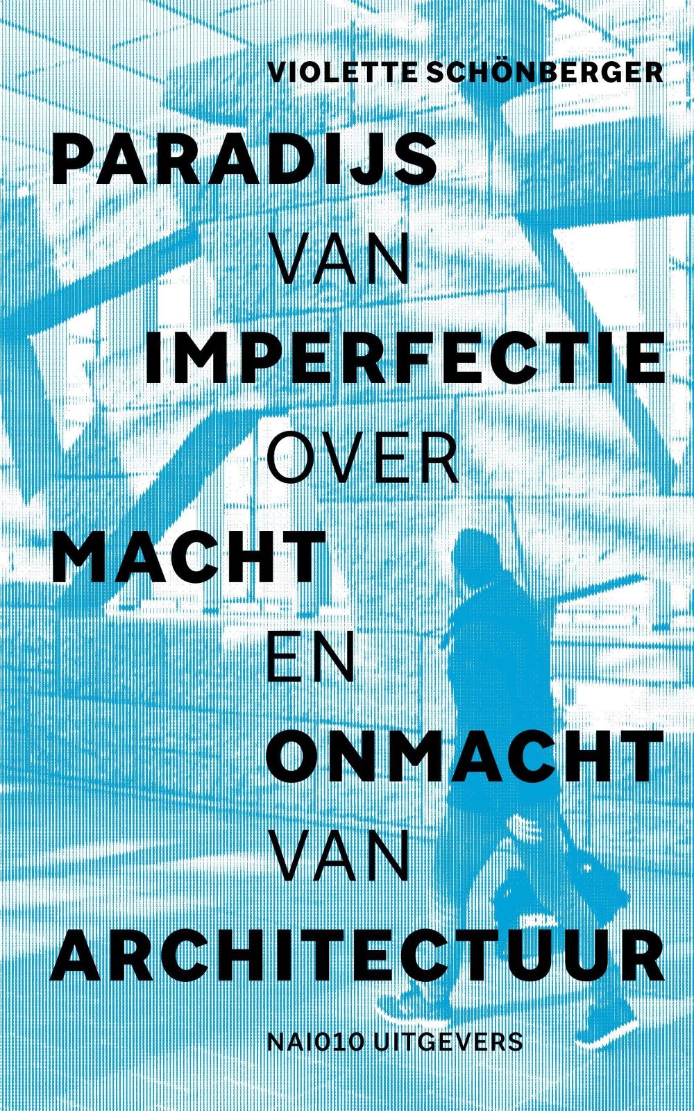
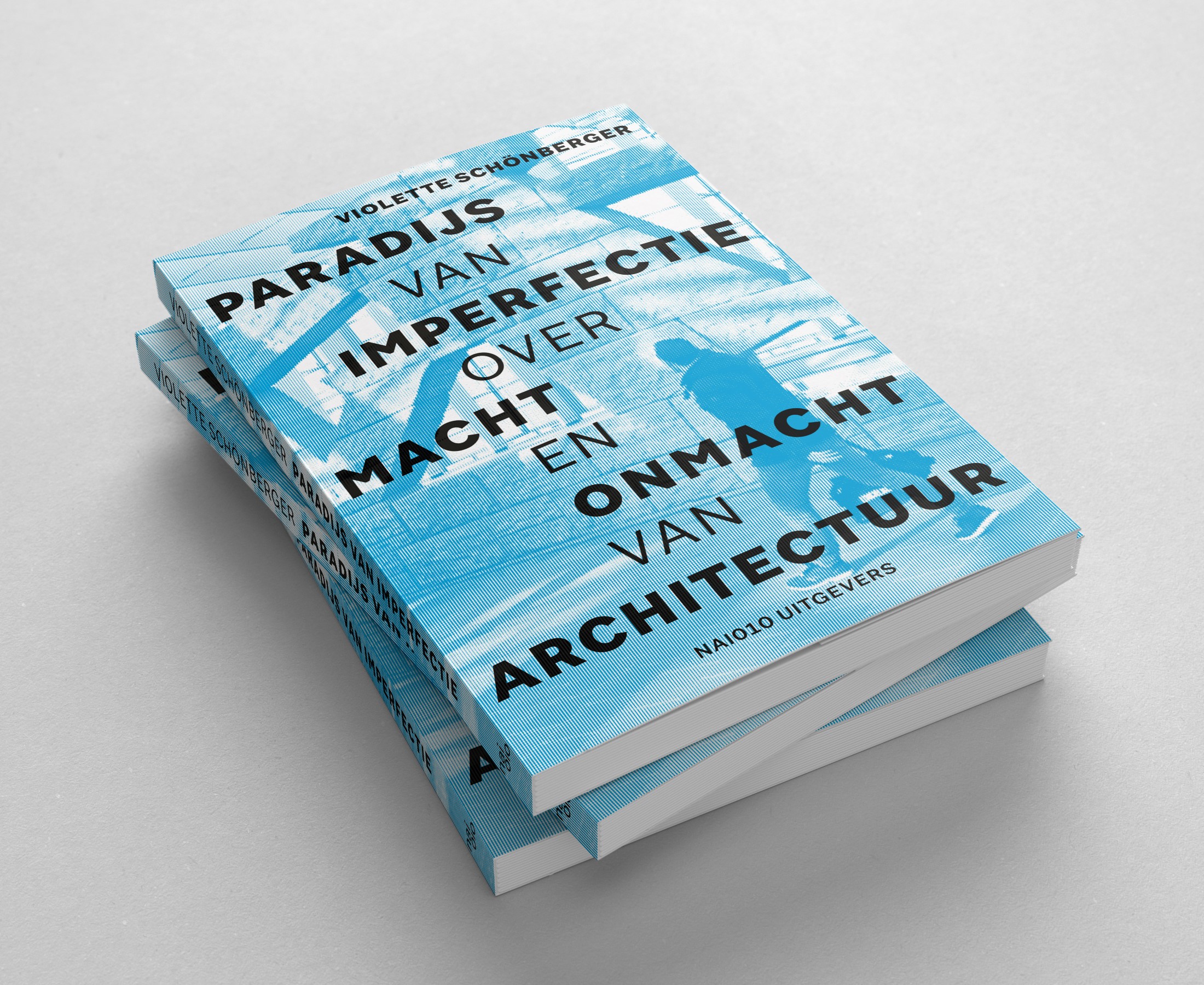
Paradijs van imperfectie biedt in ruim 35 korte essays een brede blik op architectuur in relatie
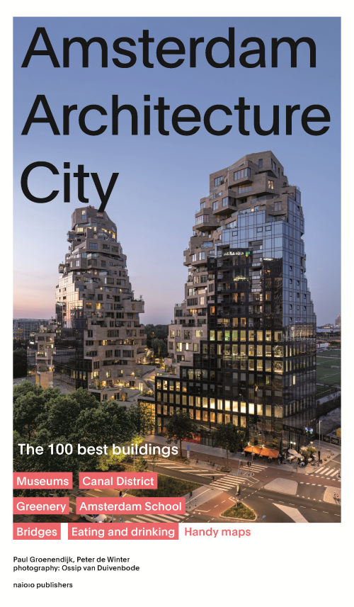
> De 100 beste gebouwen van Amsterdam> Met kaarten en de leukste things to do > Al meer dan 10.000
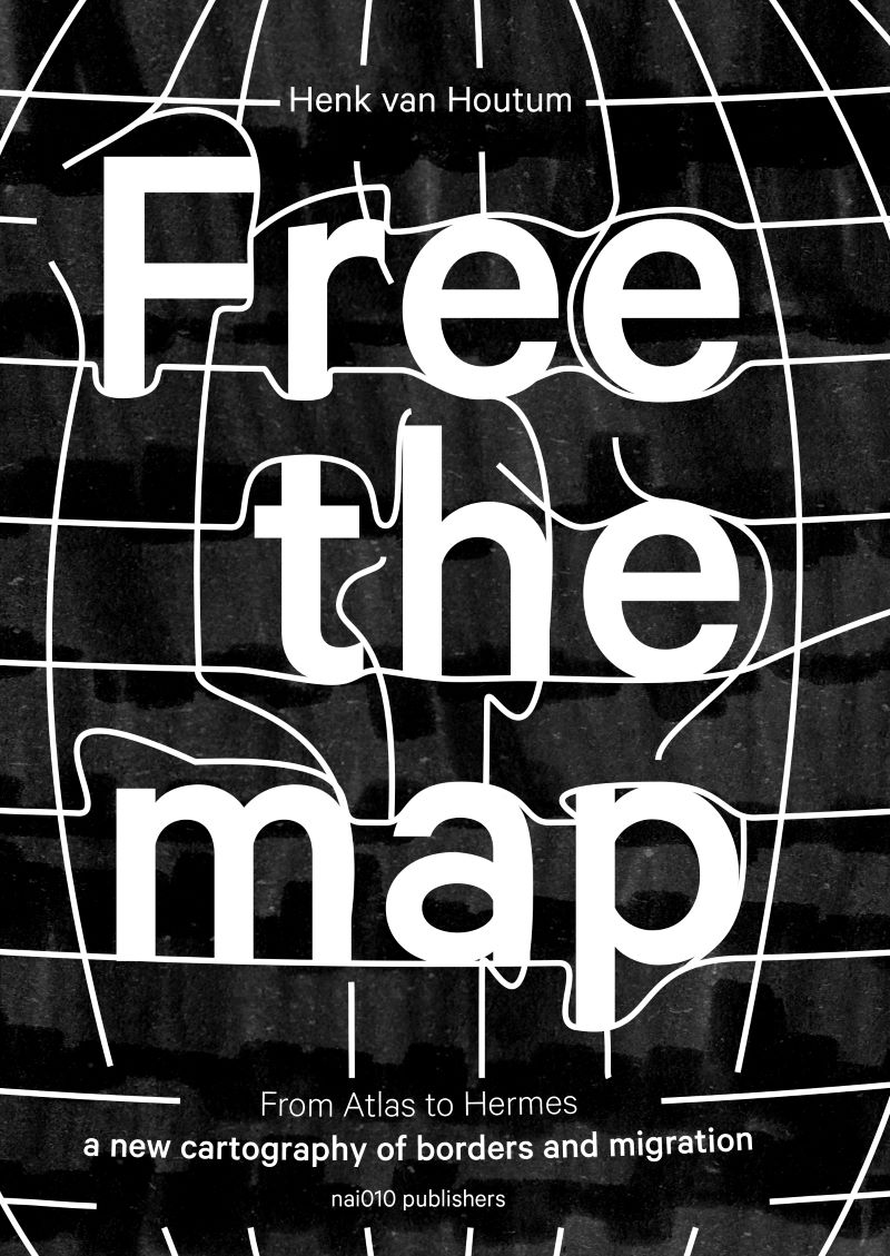
In zijn boek Free the Map pleit politiek geograaf Henk van Houtum voor een nieuwe beeldtaal voor
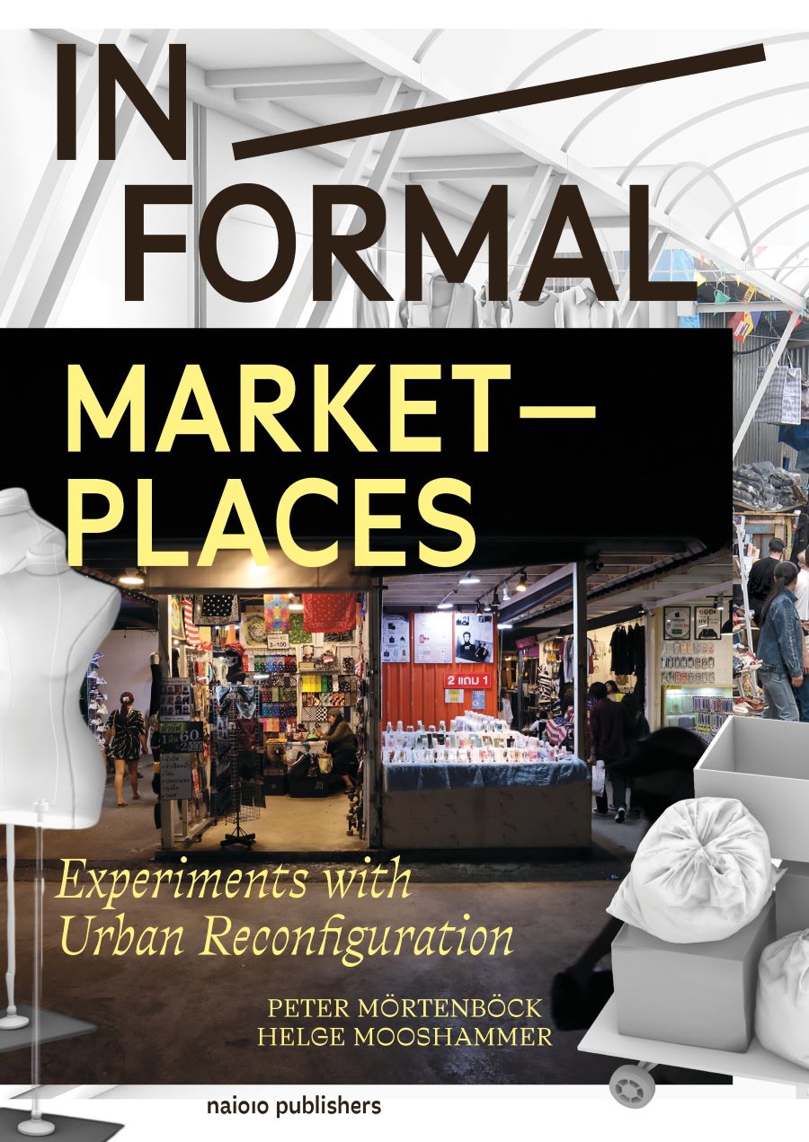
> Baanbrekende inzichten in formele-informele verbanden bij stedelijke transformatie > Geavanceerde
> Onderzoekt de werkelijke voordelen en kosten van vergroeningsoplossingen in steden wereldwijd>
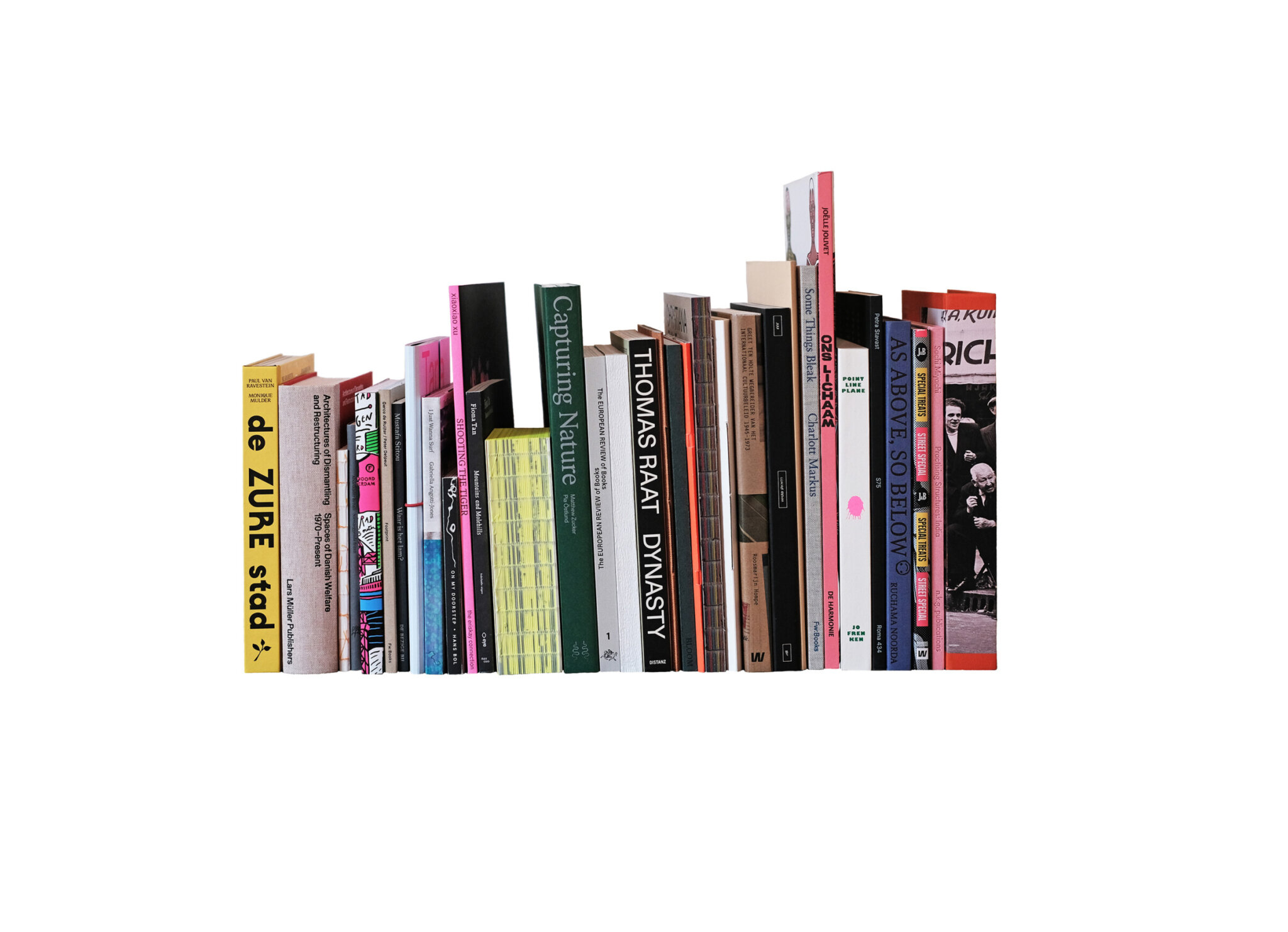
‘Just when we thought the photobook world had been well and truly examined, along comes this
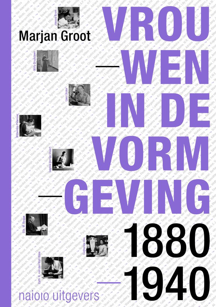
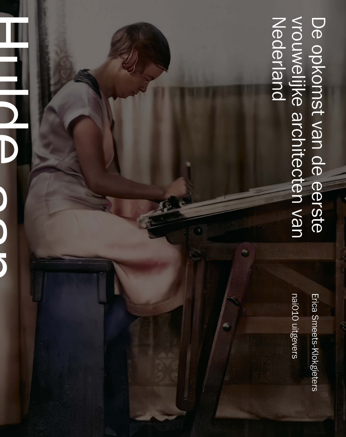
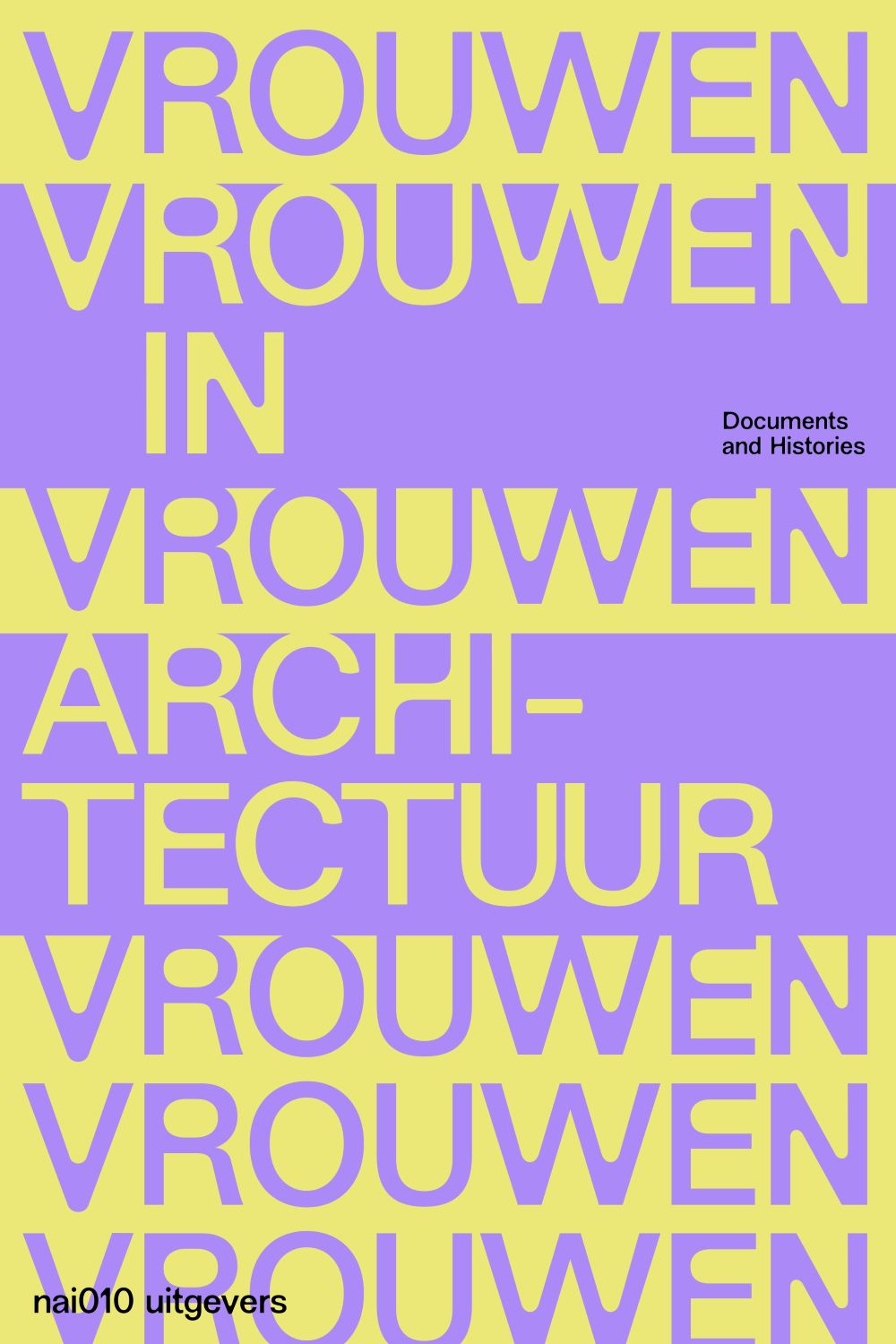
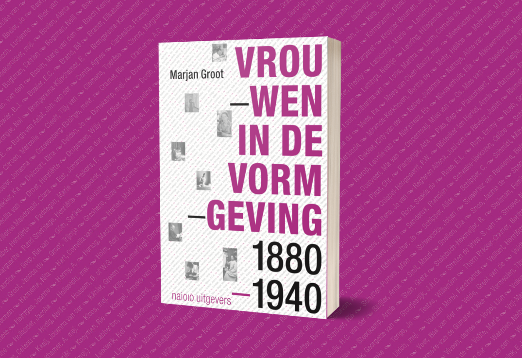
Een onmisbaar document dat de rol van vrouwen in de ontwikkeling van de Nederlandse vormgeving voor
> Het vrouwelijke universum van Madeleine Berkhemer> Eerste samenvattend overzicht van haar
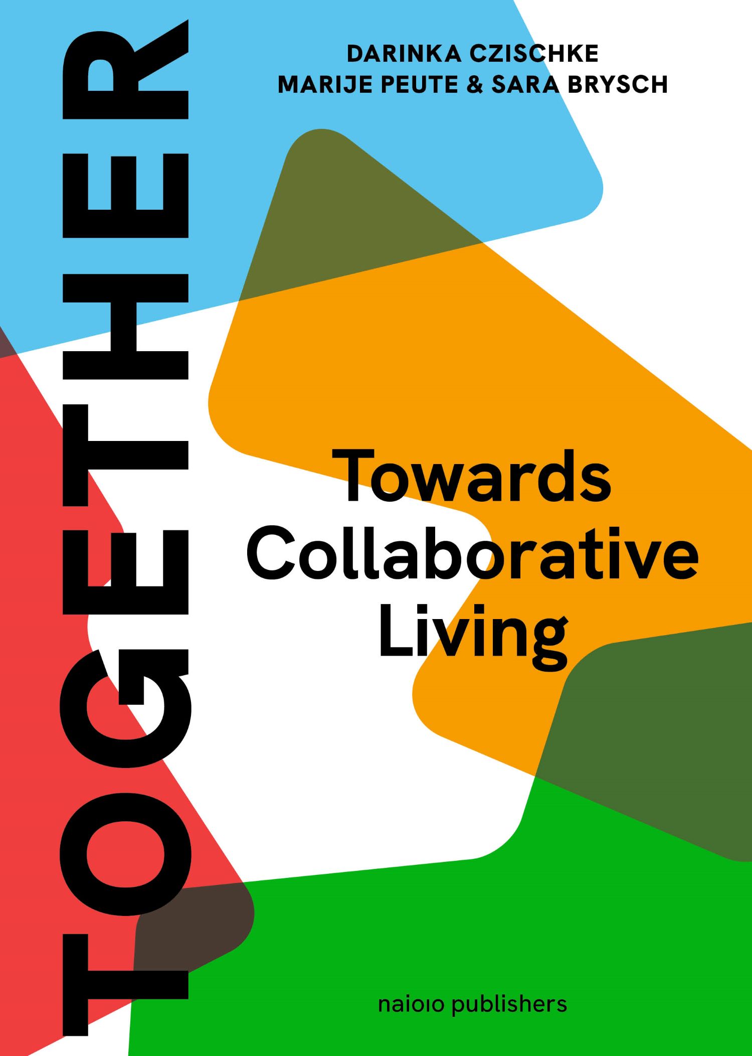
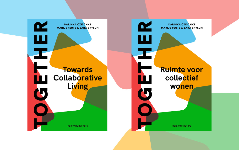
‘Uit de fraaie en toegankelijke overzichtspublicatie Together blijkt dat er veel meer wegen
> Derde deel van een serie handboeken met instrumenten voor stadsmakers > Toolbox voor de
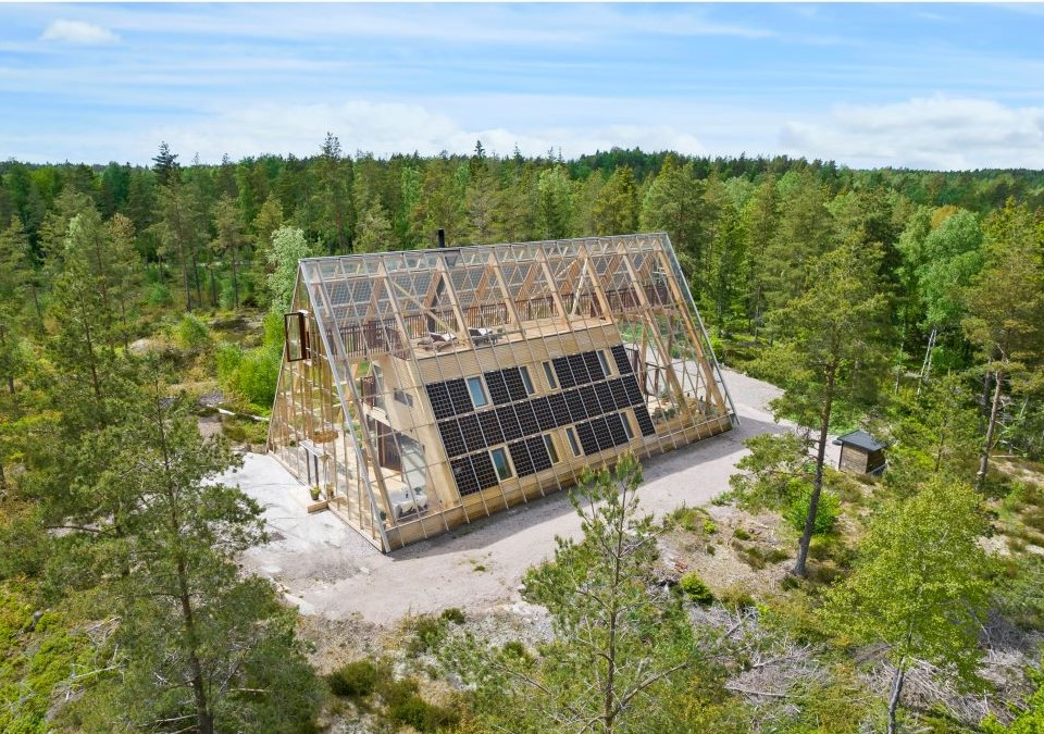
Diepgaand ontwerpend onderzoek naar de grote klimaatopgaven (energietransitie en water), gericht op
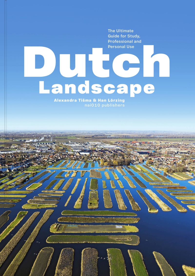
> Hét overzicht van het Nederlandse landschap> Voor studenten, professionals en
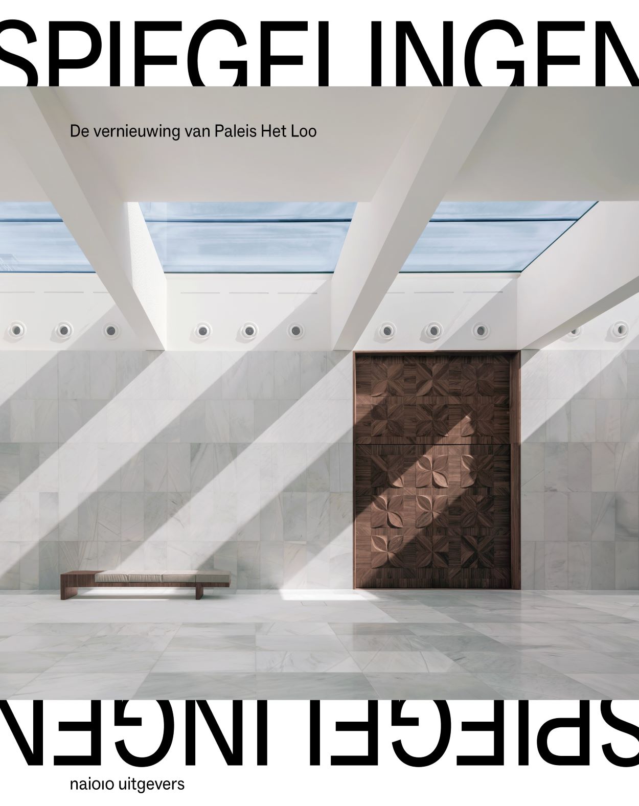
> Unieke blik op het ontwerp en de bouw van de ondergrondse uitbreiding > Paleis Het Loo nu een van
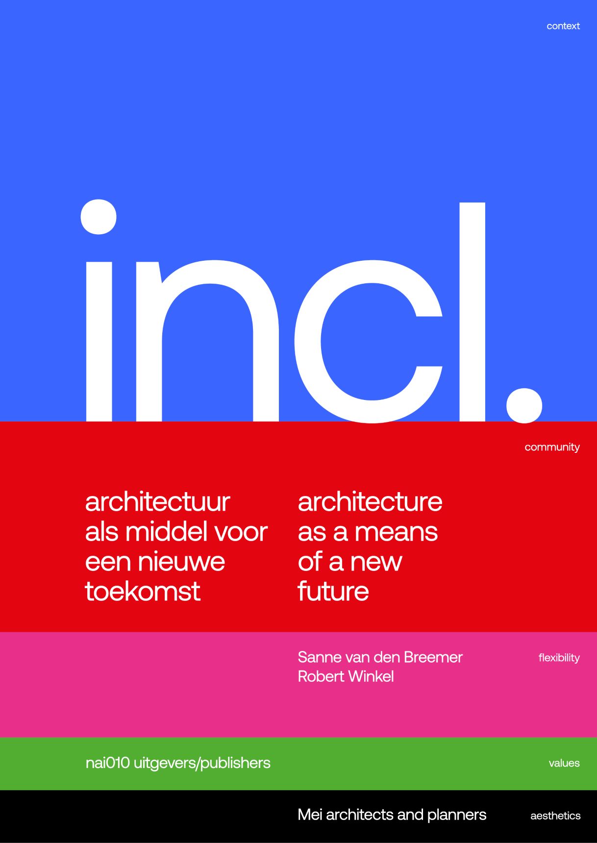
De eerste publicatie in de nieuwe reeks over meerstemmigheid in architectuur
> Draagt bij aan een
Biedt een levendig inzicht in twee van de belangrijkste trends van onze tijd â€" verstedelijking
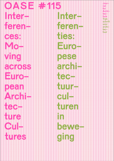
> Onderzoekt de invloed van diverse cultureel-ruimtelijke processen op Europese architectuur>
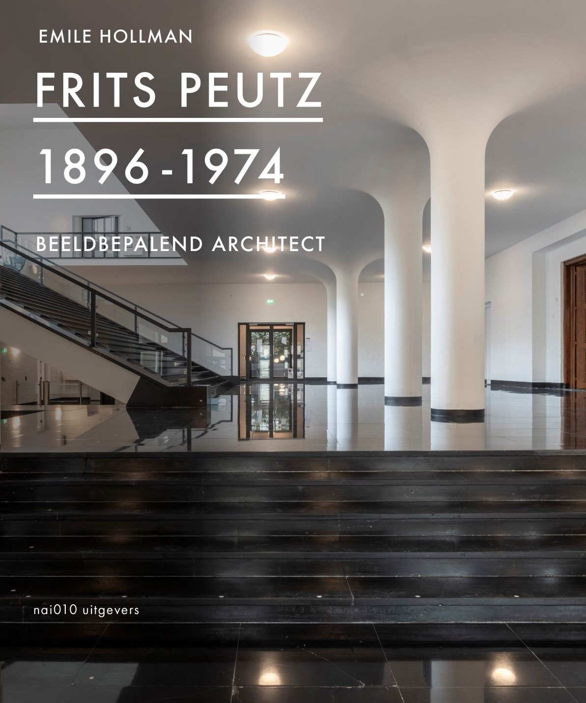
> Maak kennis met de eigenzinnige stijl van Peutz > Het brein achter architectuurstad Heerlen >
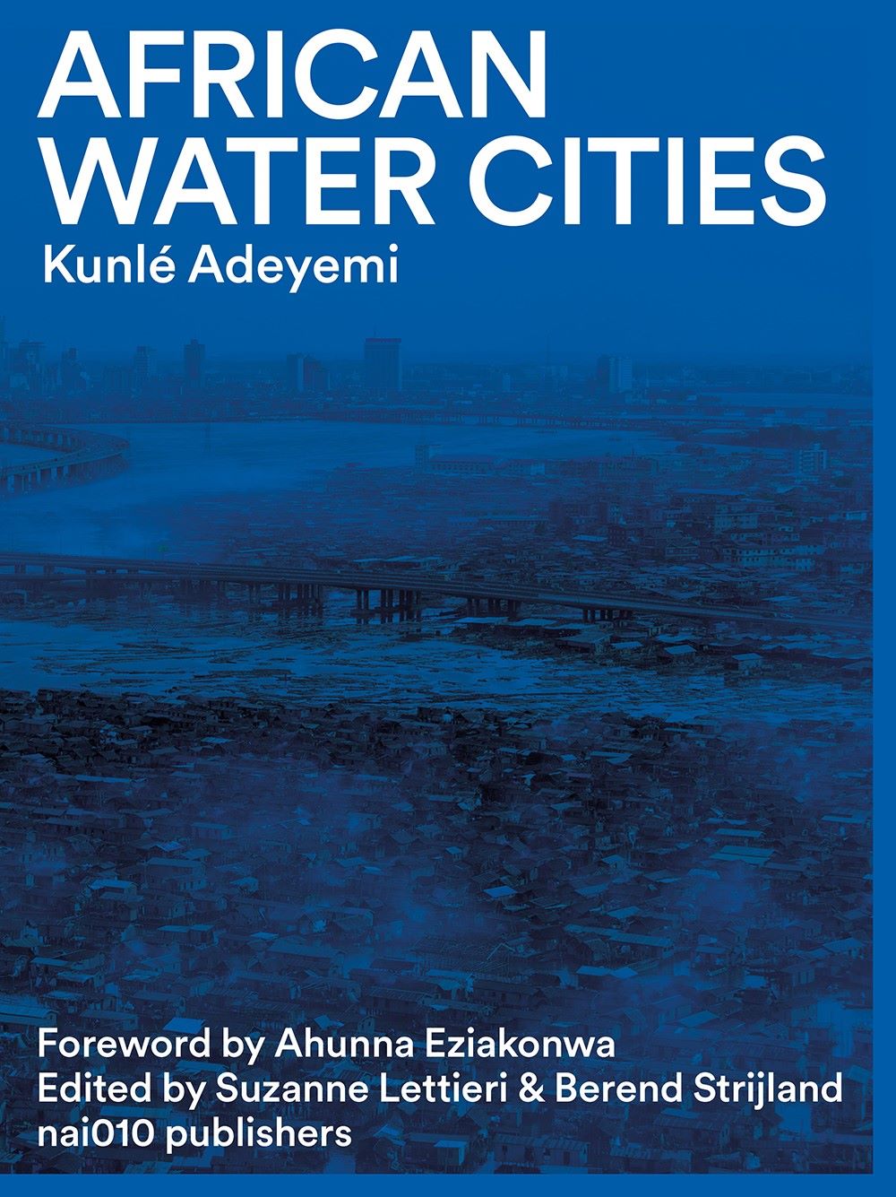
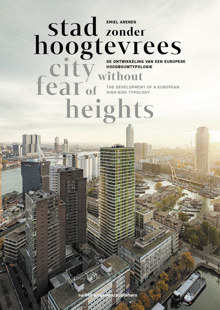
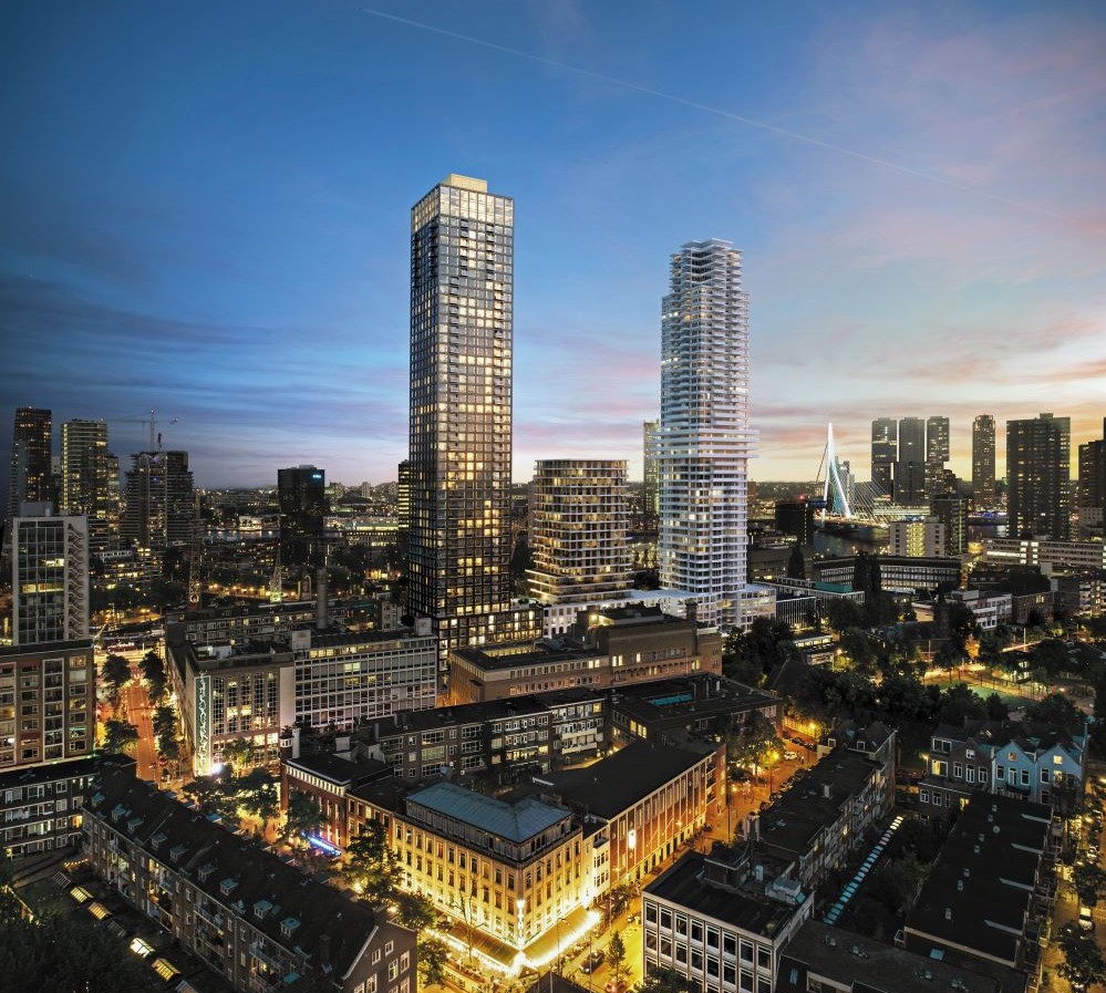
Voorbij het hoogste gebouw van Nederland
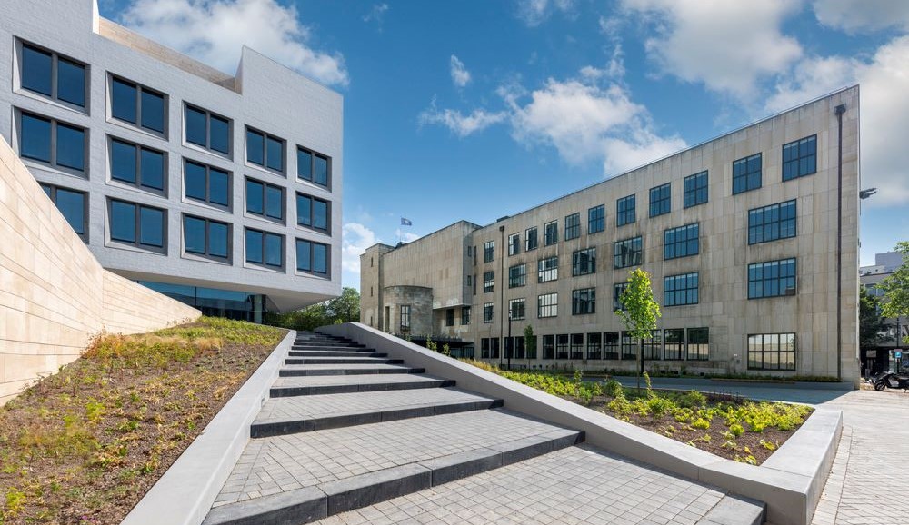
> Hoe maak je een leefbare stad met hoogbouw?> Heden,
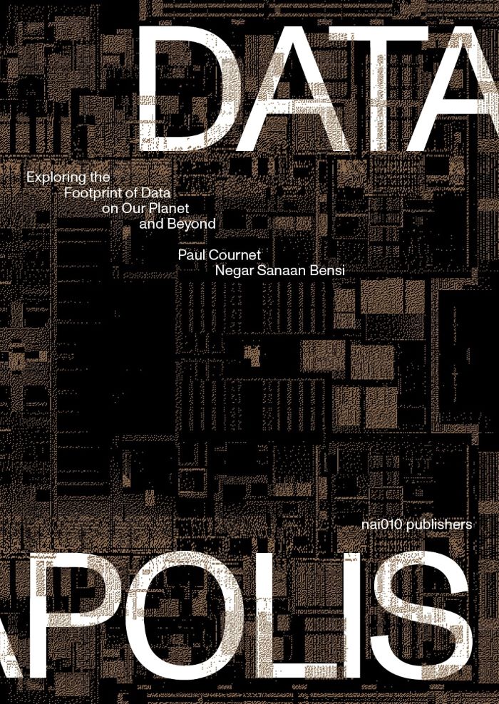
Explore the material and conceptual ramifications of data in the urban environment
> Wat is de
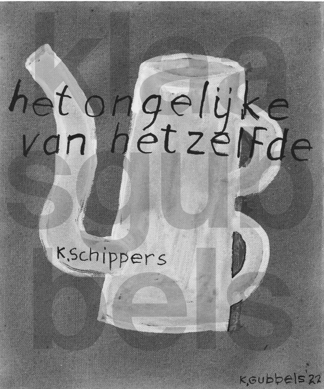
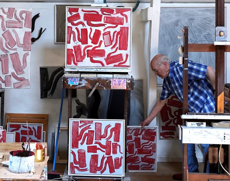
De definitieve monografie van Klaas Gubbels
> Verschijnt ter gelegenheid van de 88ste verjaardag van
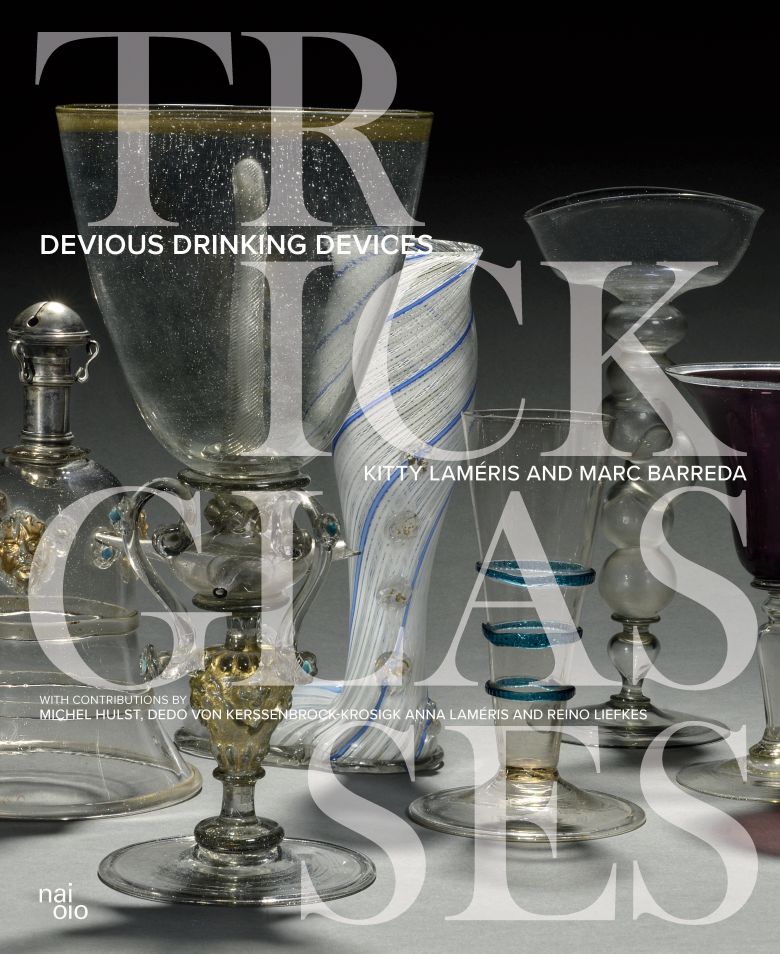
> Biedt een schat aan kennis over deze meesterstukken van Europees glasvakmanschap> 'Het bijzondere
> Het unieke ontwerpverhaal van de Marker Wadden in woord en beeld> Een nieuw hoofdstuk in de
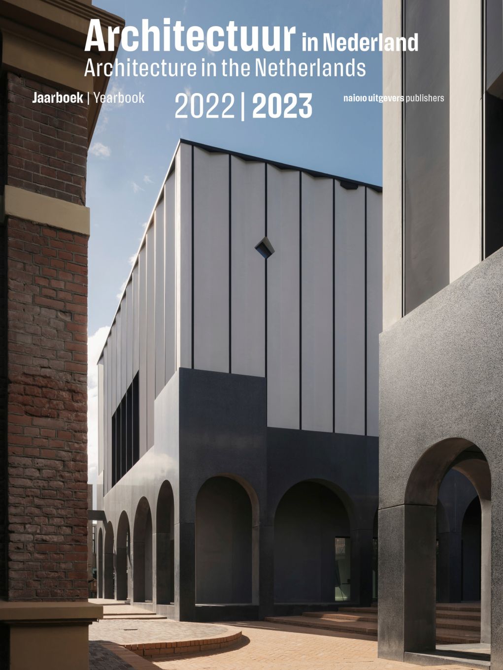
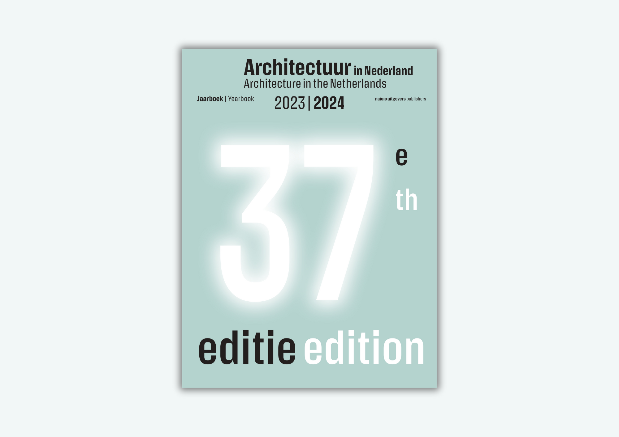
> 36ste editie van het internationale visitekaartje van de Nederlandse bouwkunst> ‘A
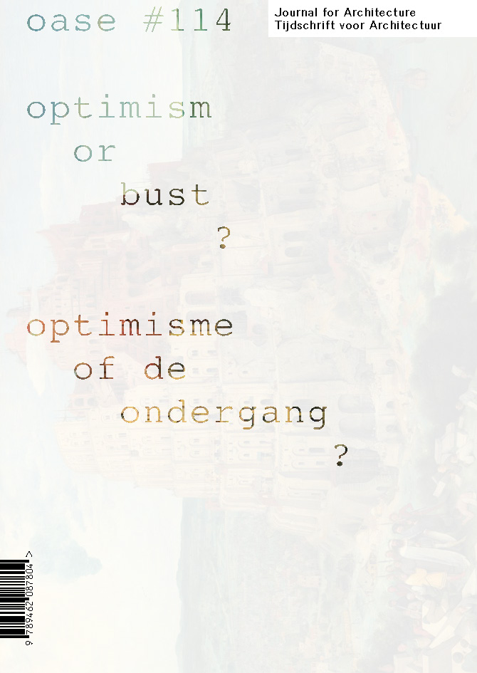
Optimisme als strategie binnen architectuur/stedenbouw om uitweg te bieden aan klimaatcrisis,
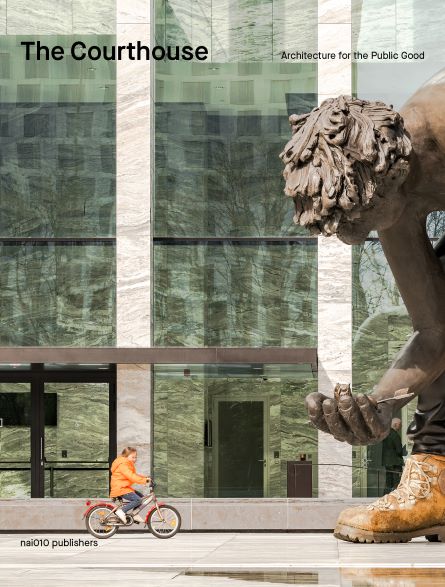
> Biedt een exclusief kijkje achter de schermen bij de grootste rechtbank van Nederland> Formuleert
Mei architects and planners
> Overzicht van 25 jaar toonaangevende architectuurprojecten van Mei
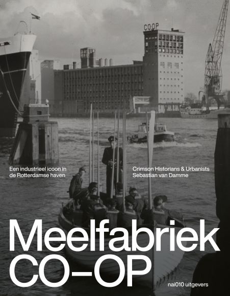
> Uniek portret van een iconisch Rotterdams gebouw aan de hand van uitgebreid historisch onderzoek,
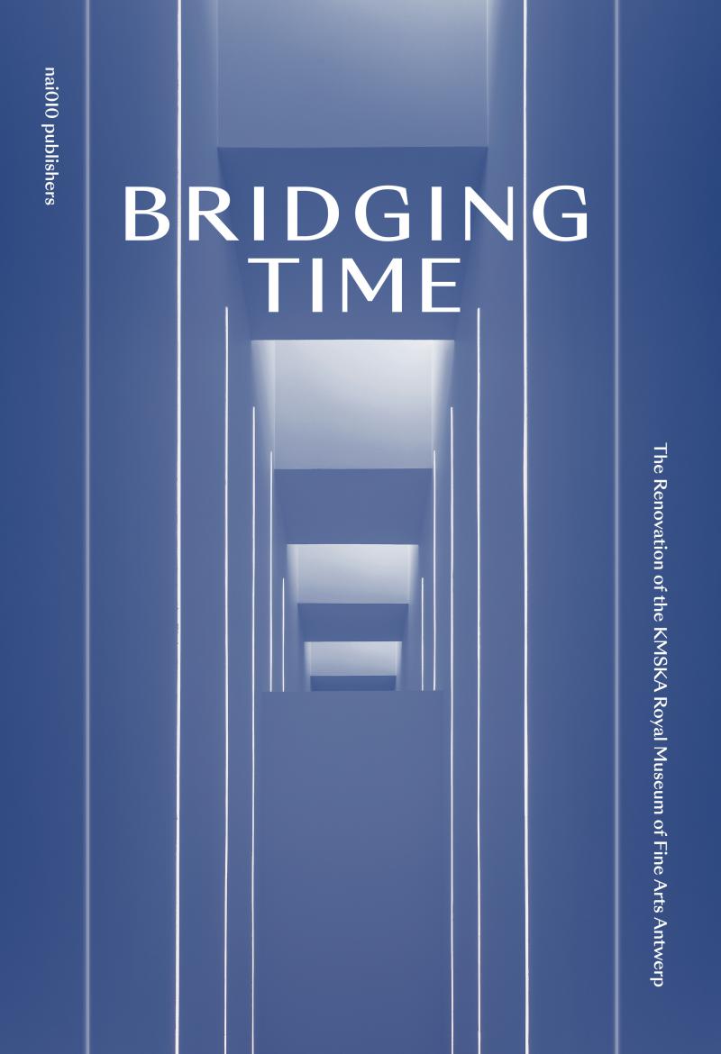
> Het nieuwe KMSKA is een architecturale parel met een spannende symbiose tussen het krachtige
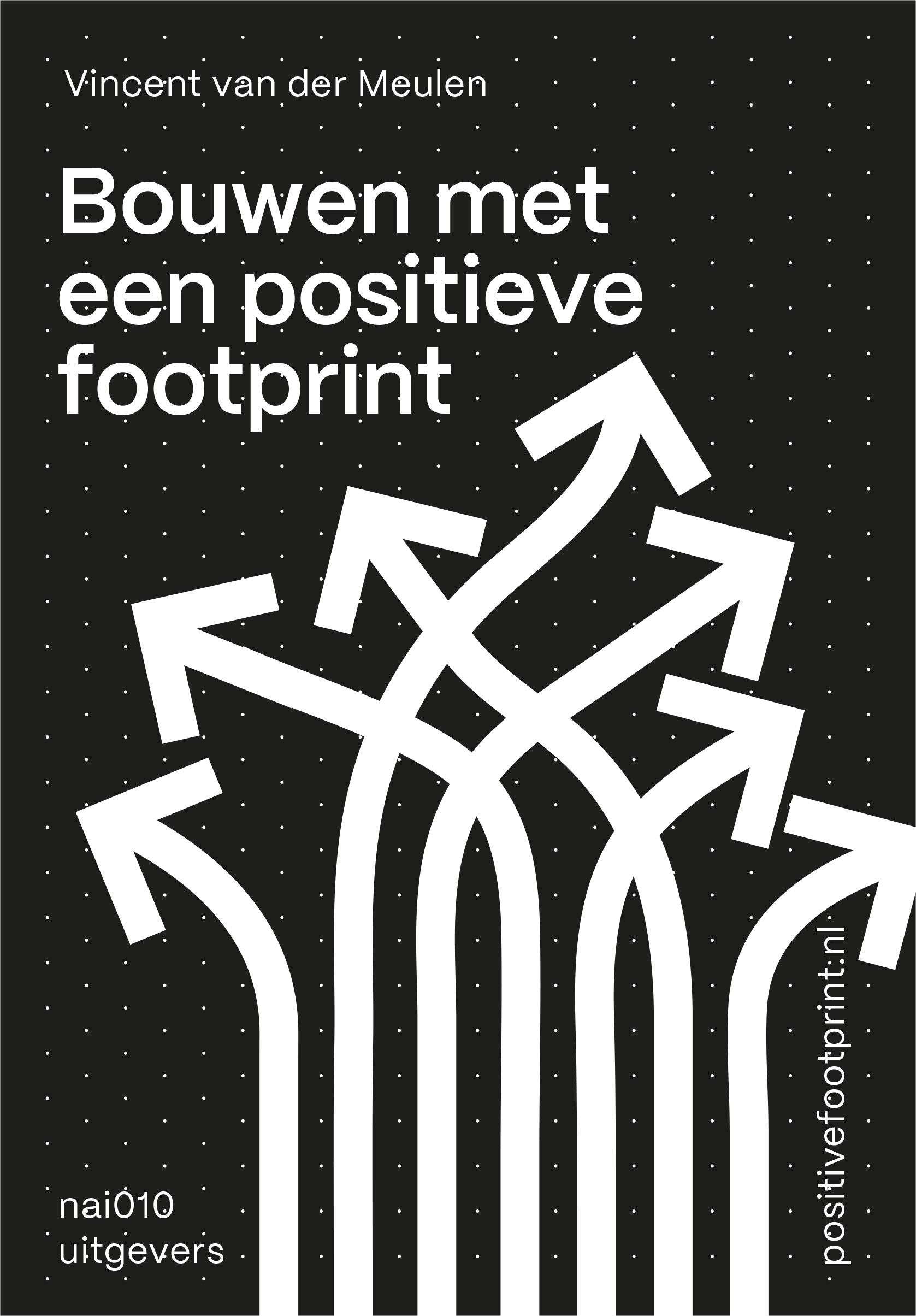
Dit boek maakt in één klap duidelijk wat er moet gebeuren om gebouwen bij te laten dragen aan
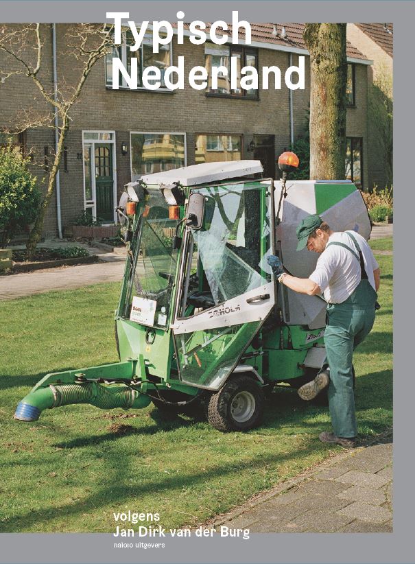
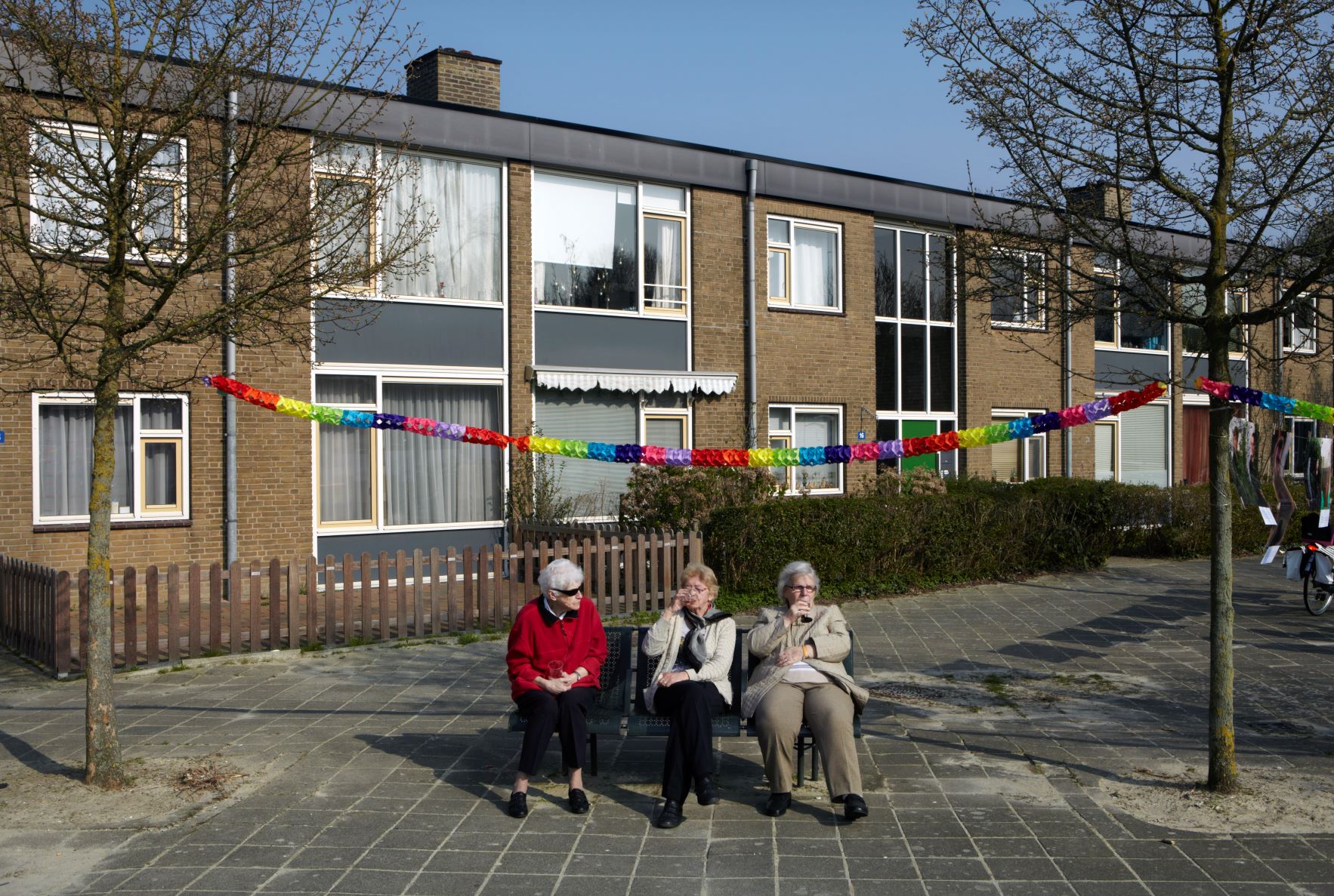
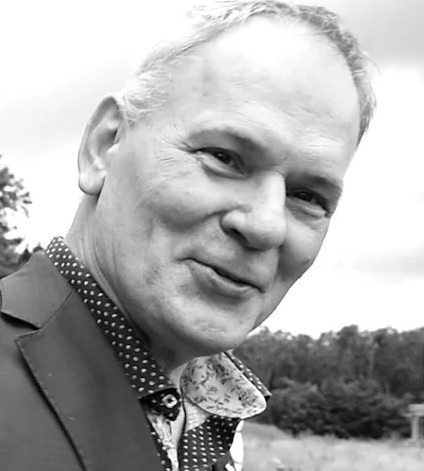
Hilarisch portret van ‘normaal’ Nederland door de Fotograaf des Vaderlands
> Waarom witte
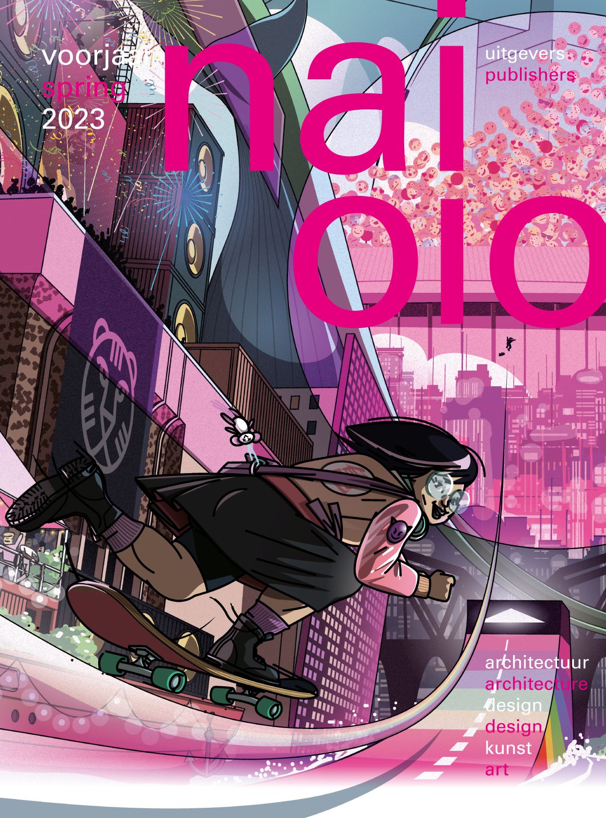
30 May 2024Lancering Architectuur in Nederland
24 April 2024Magali Reus x Galerie Greta Meert
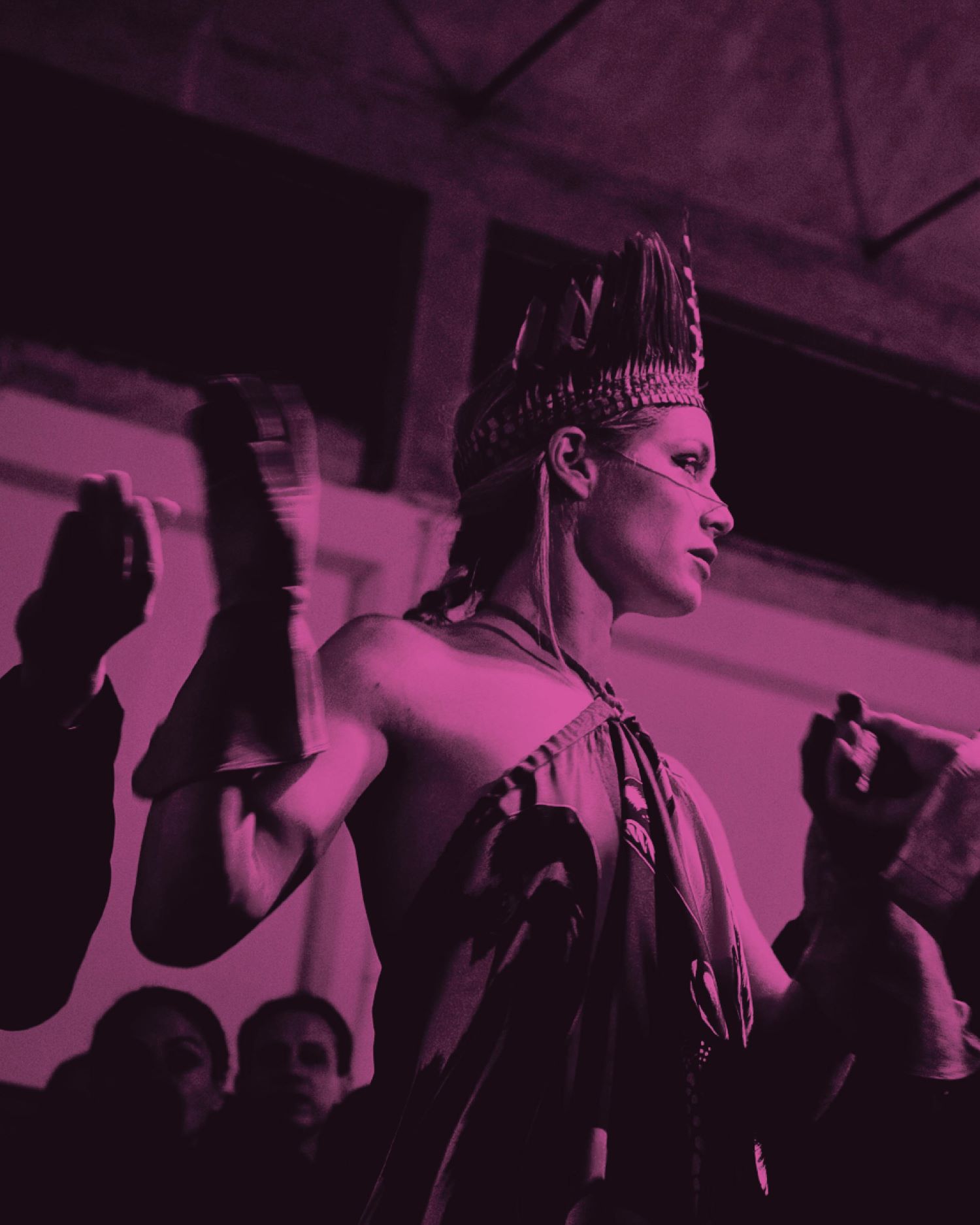
09 April 2024Paradijs van imperfectie x Pakhuis de Zwijger
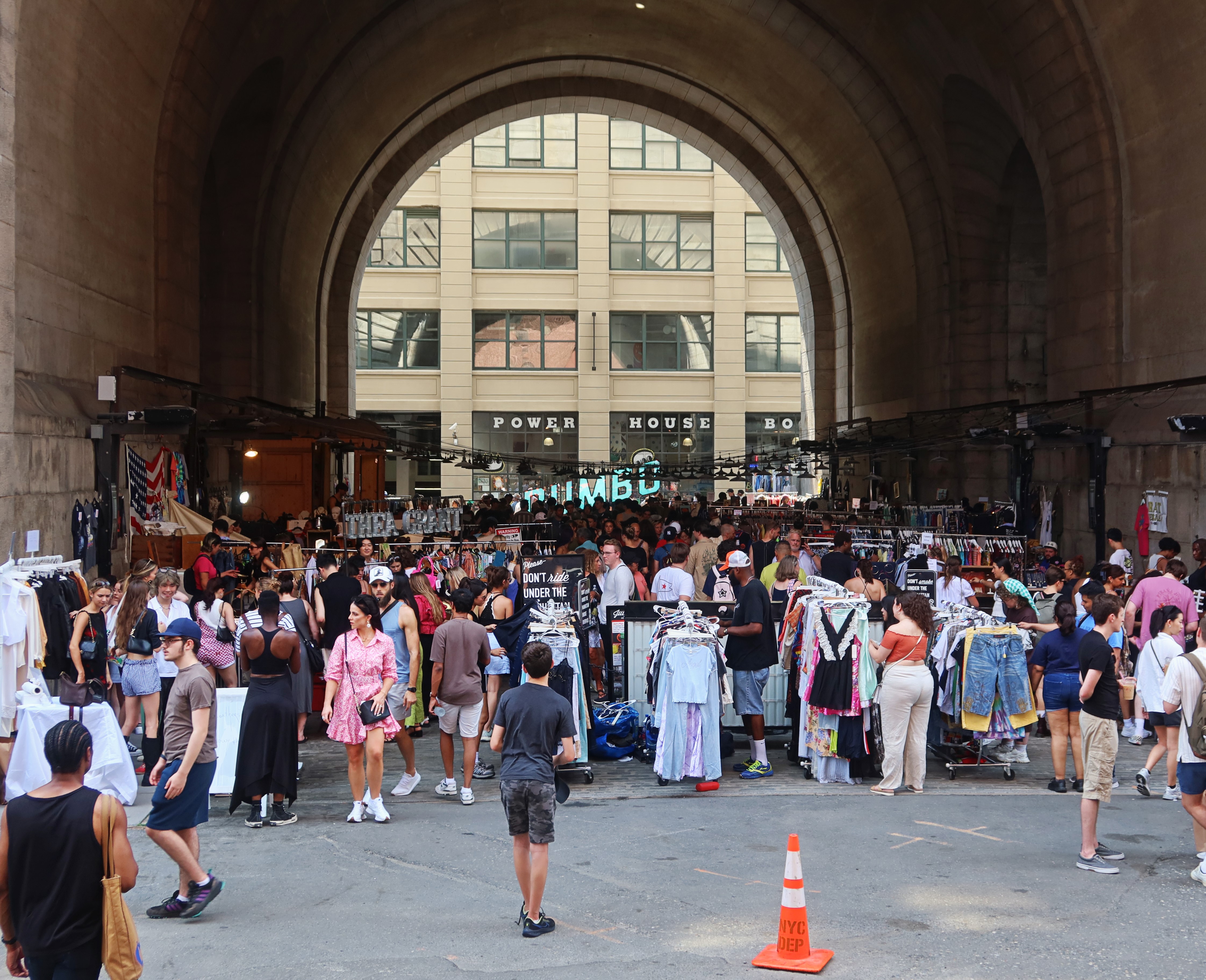
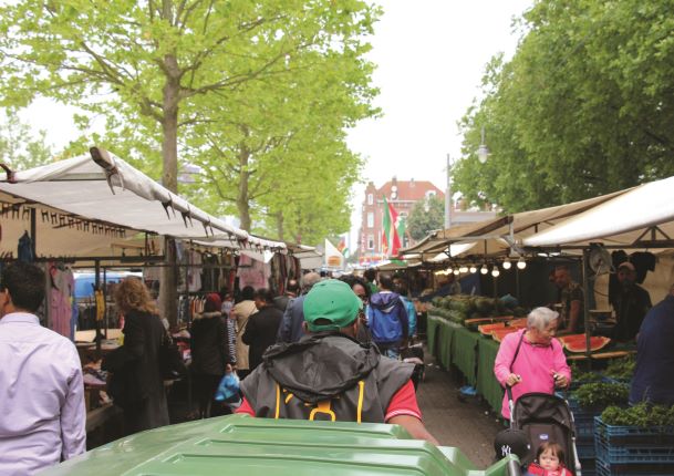
08 April 2024City Markets x Pakhuis de Zwijger
05 April 2024Amsterdam Architectuur Quiz x Arcam
07 March 2024Art & Project en Klaas Gubbels Best Verzorgde Boeken
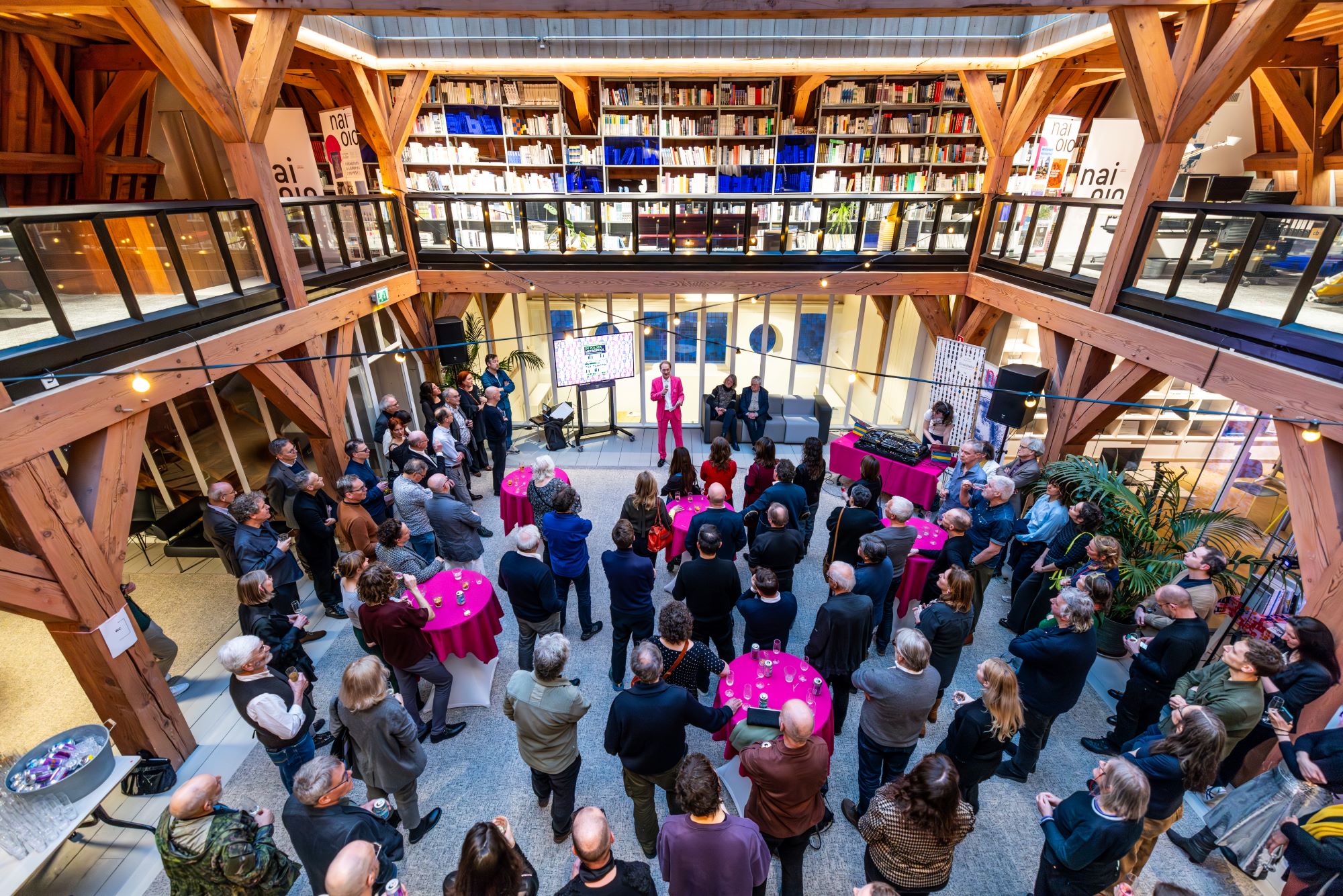
29 February 202430e verjaardag nai010
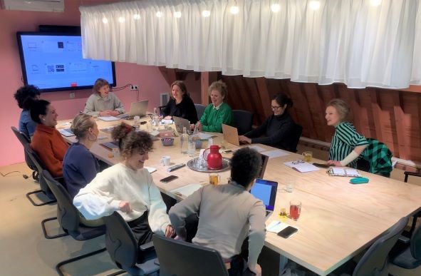
28 February 2024Maak kennis met de jaarboek redactie
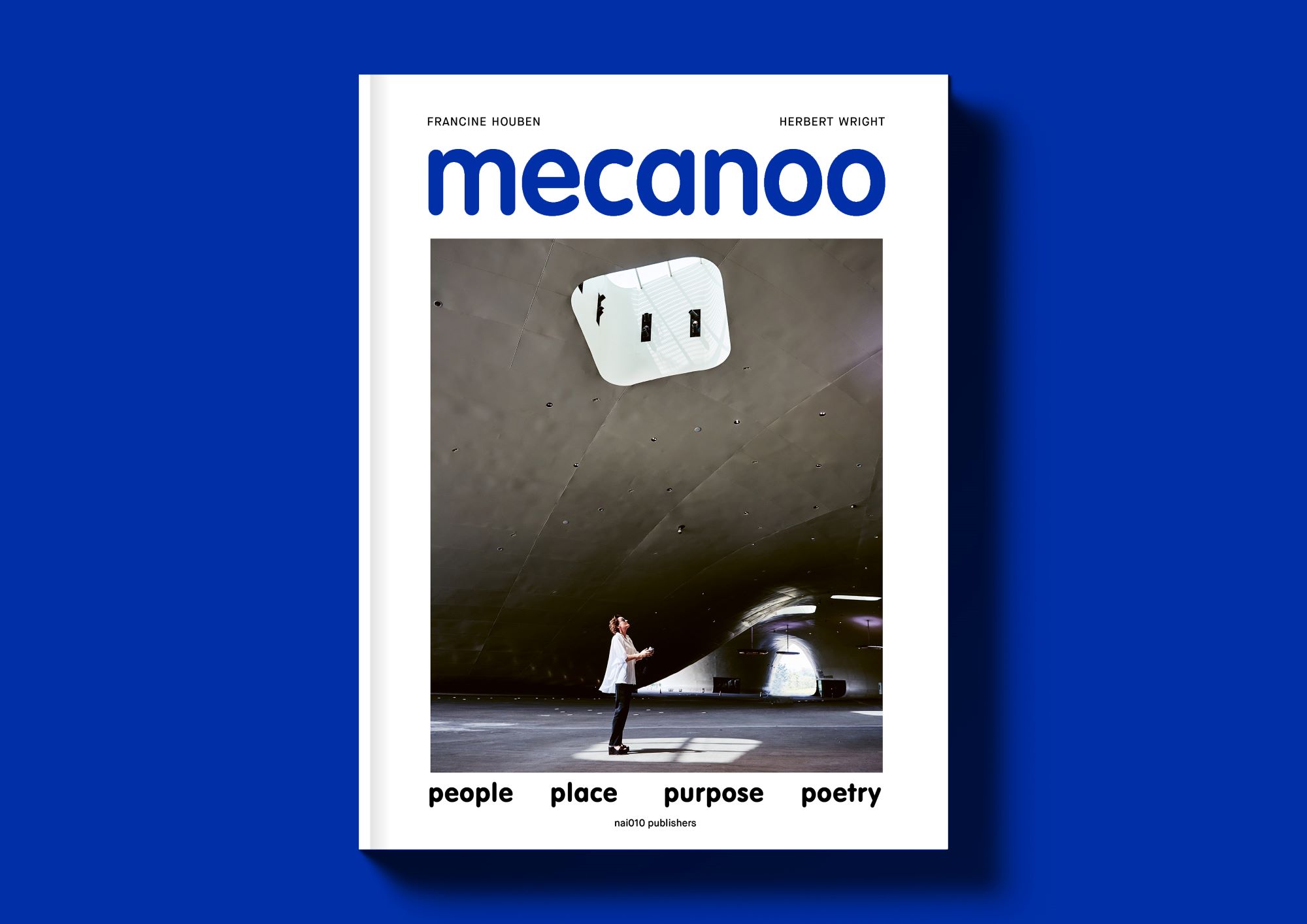
18 February 2024Francine Houben x Donner Rotterdam
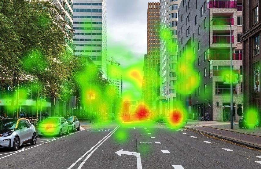
15 February 2024Internationale online lancering Neuroarchitectuur
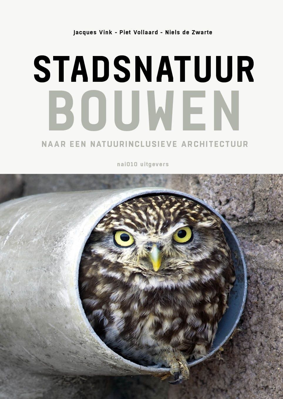
05 February 2024Lancering Stadsnatuur bouwen
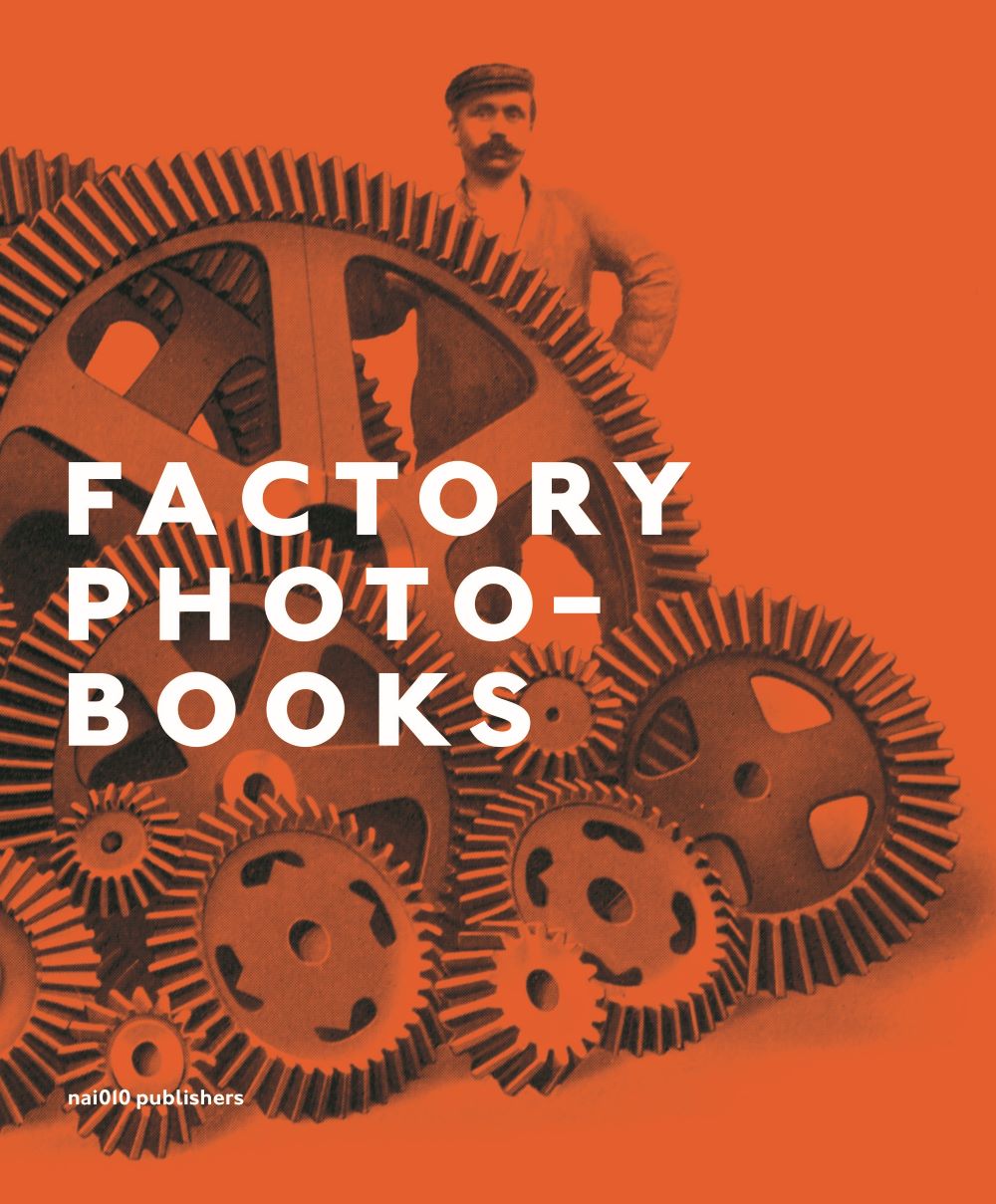
20 December 2023Beste fotoboeken 2023 x Factory Photobooks
19 December 2023Derde druk Typisch Nederland
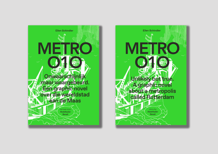
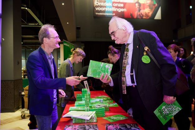
18 December 2023METRO 010 herdruk & Engelse editie
13 December 2023Rolmodellen & ‘starchitects’ x Pakhuis de Zwijger
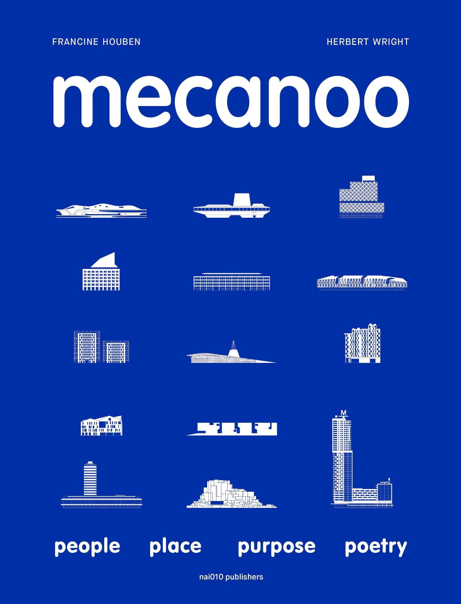
08 December 2023Coming soon! Mecanoo
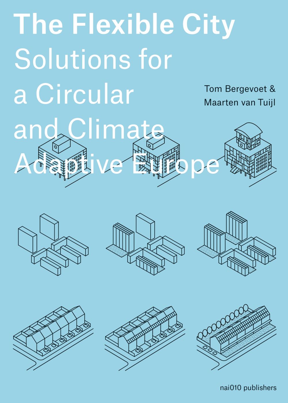
07 December 2023The Flexible City x Pakhuis de Zwijger
05 December 2023Catalogus voorjaar 2024
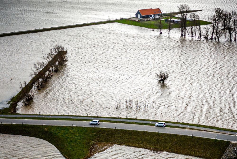
01 December 2023Extreme regenval: pleidooi voor floodscapes
30 November 2023Neuroarchitectuur x Pakhuis de Zwijger
24 October 2023Together x Pakhuis de Zwijger
18 October 2023Hulde aan onze kranige architecte x Nieuwe Instituut
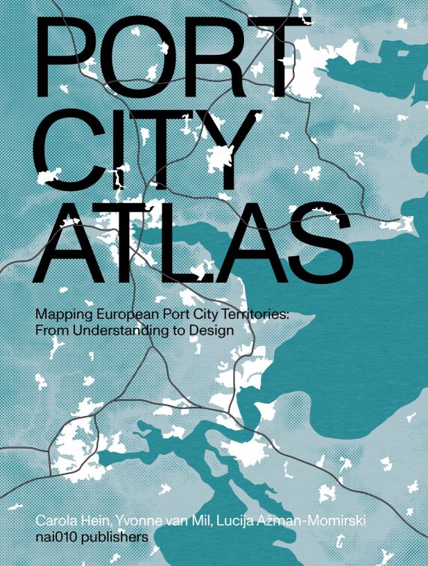
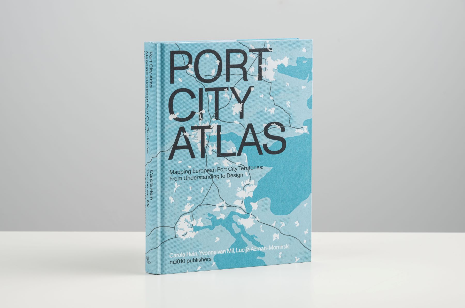
05 October 2023Mapping Port City Territories x Nieuwe Instituut
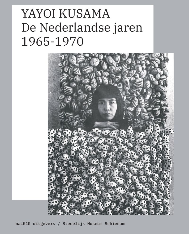
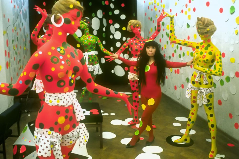
23 September 2023Yayoi Kusama. De Nederlandse jaren 1965-1970.
15 September 2023Projecten gezocht voor Architectuur in Nederland
26 August 2023Lancering Frits Peutz 1896-1974
07 July 2023Boeklancering Stad zonder hoogtevrees
21 June 2023Catalogus najaar 2023
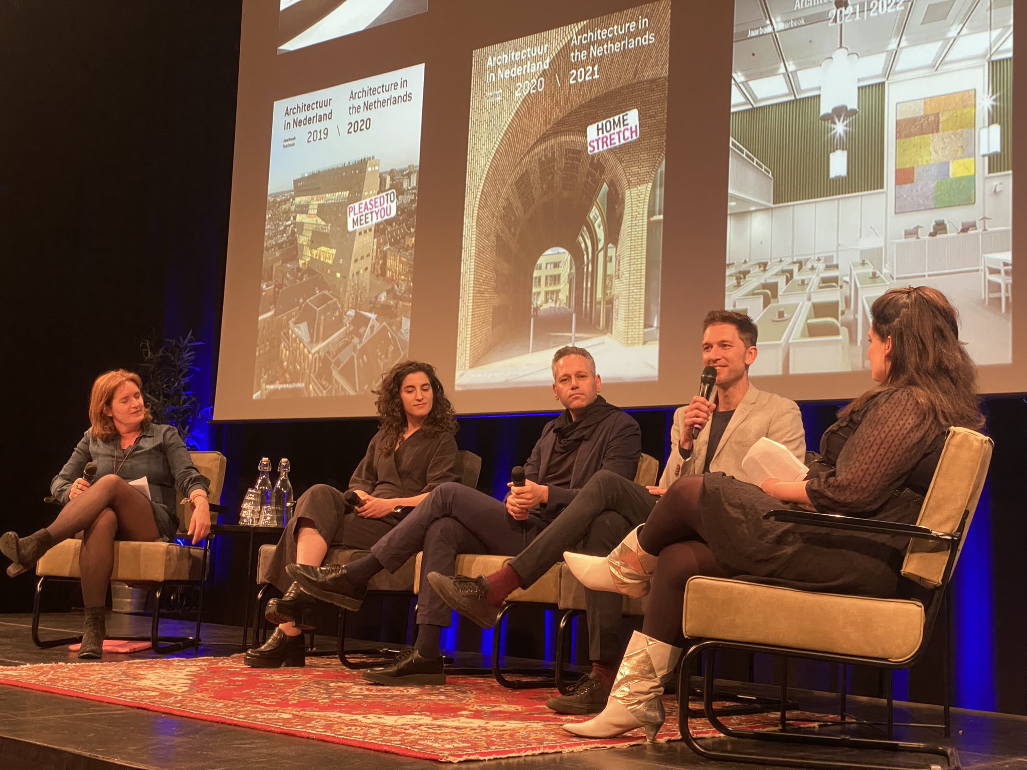
16 June 202315 & 16 juni | Programma Vrouwen in architectuur
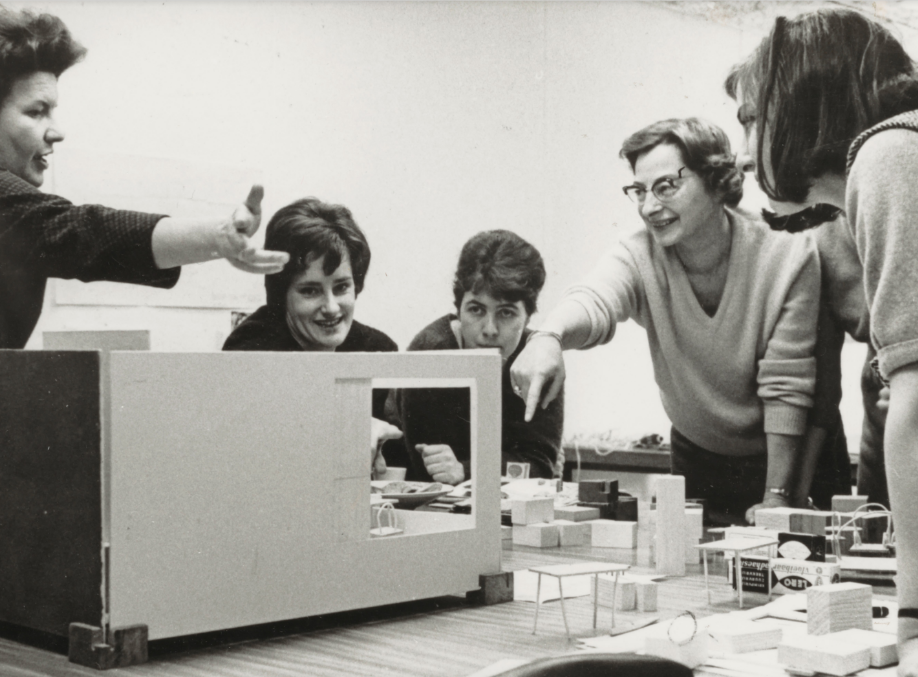
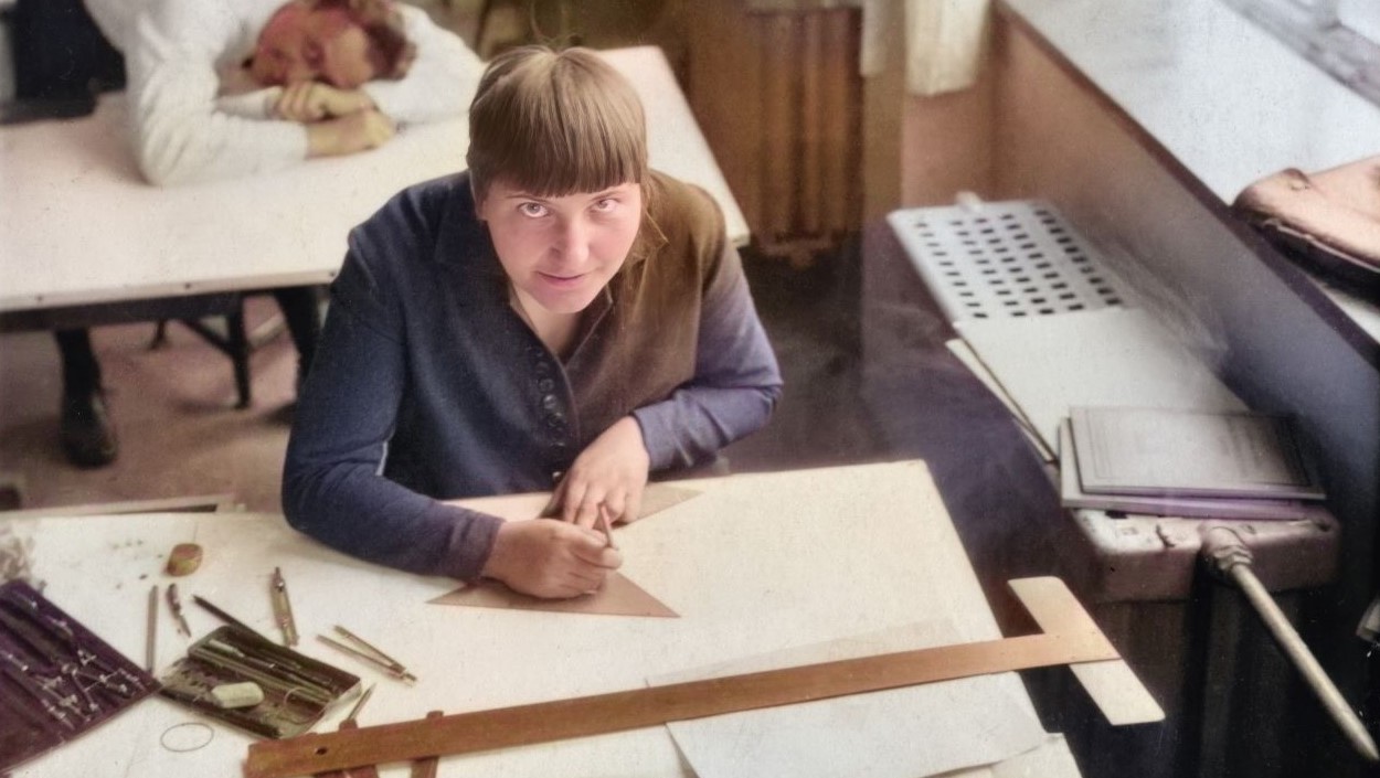
15 June 2023Steun heruitgave van Vrouwen in de vormgeving
01 June 2023Boeklancering DATAPOLIS
23 May 2023Lancering Architectuur in Nederland Jaarboek
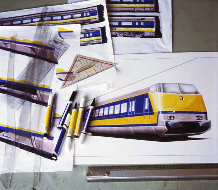
14 April 2023Treinen Ontwerpen Symposium
07 April 2023Fiona Tan Best Verzorgde Boeken
06 April 2023Bouwen met een Positieve Footprint
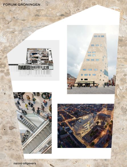
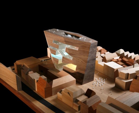
30 March 2023Boeklancering Forum Groningen
25 March 2023Van der Laandag x Bonte Grijzen
17 March 2023In memoriam: Adri Duivesteijn
13 February 2023Vrouwen in architectuur krijgt vorm
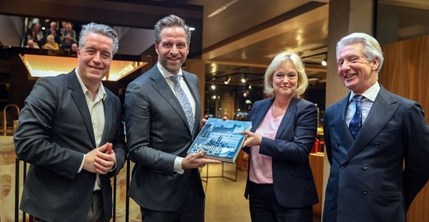
08 February 2023Minister Hugo de Jonge ontvangt eerste exemplaar Meelfabriek CO-OP
06 February 2023Week van de Circulaire Economie
28 January 2023Femmy Otten in Stedelijk Museum Schiedam
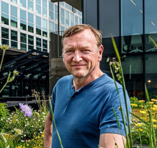
25 January 2023Nieuwe benoeming Robert Winkel
22 January 2023Kom naar de boekpresentatie van Klaas Gubbels
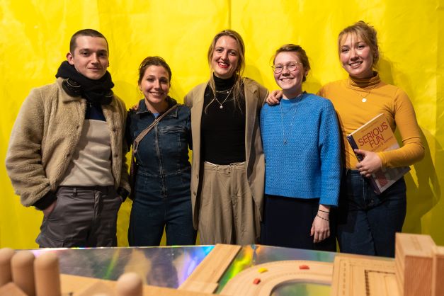
19 December 2022Boeklancering Serious Fun & opening Playing Architecture
14 December 2022Catalogus voorjaar 2023
07 December 2022Boeklancering Metro 010
U bestelt het e-book